Home
Colonial Era
Victorian Era
20th Century
Locales
People
Transportation
-- Site Search --
Historic Maps
Yearbooks
Resources
Photo Gallery
Books
Newly Added
Contact Us
Photos
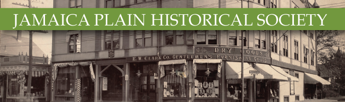
· Historic Jamaica Plain Photos Gallery #1
previous page
|
next page
| displaying pictures 1-100 of 221
© 1997-2017 Jamaica Plain Historical Society
Box 302924 · Jamaica Plain, Massachusetts 02130-0053 · http://www.jphs.org


")


